GETTING AROUND TOWN:
|
|

TYLER ROADWAYS
|
MILES OF PRINCIPAL ARTERIALS
|
MILES OF MINOR ARTERIALS
|
MILES OF COLLECTORS
|
MILES OF LOCAL ROADS
|
HIGH TRAFFIC INTERSECTIONS
#1 |
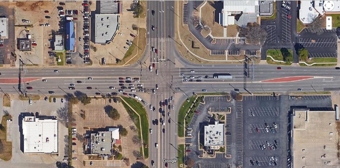
SOUTH BROADWAY AVENUE AND SOUTH LOOP 323
OVER 88,130 VEHICLES PER DAY |
#2 |
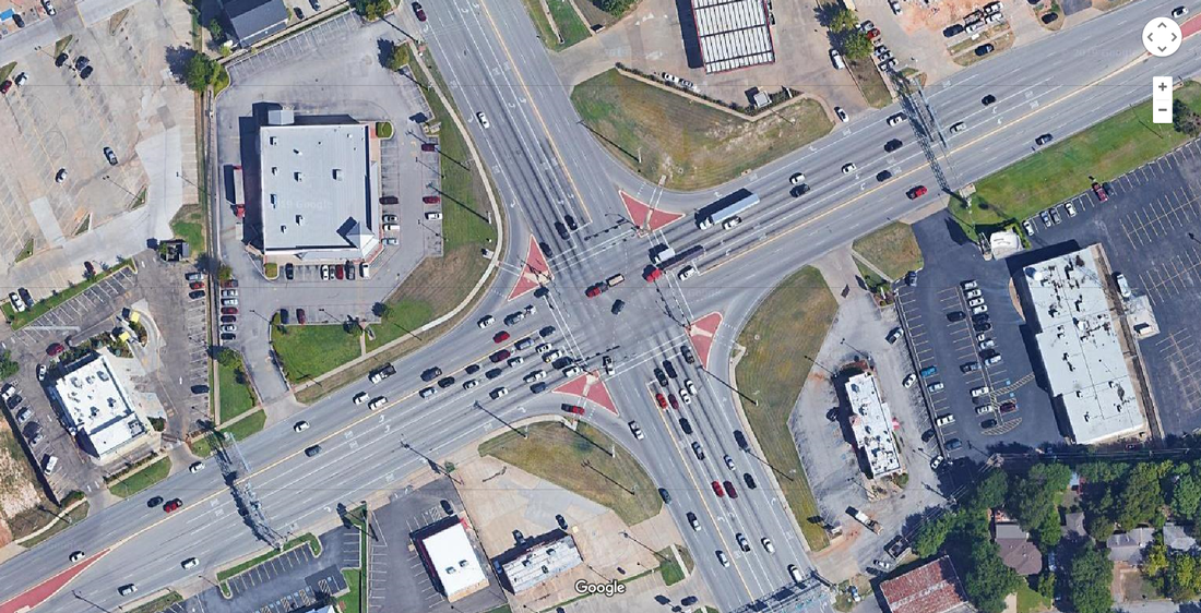
TROUP HIGHWAY AND SOUTHEAST LOOP 323
OVER 76,190 VEHICLES PER DAY |
#3 |
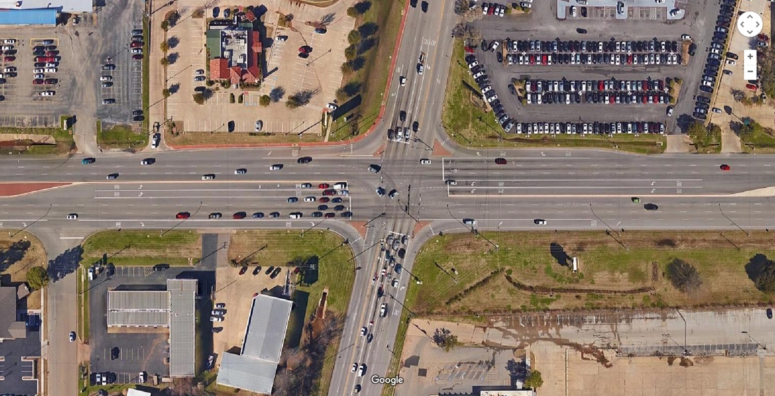
OLD JACKSONVILLE HIGHWAY AND SOUTHWEST LOOP 323
OVER 69,000 VEHICLES PER DAY |
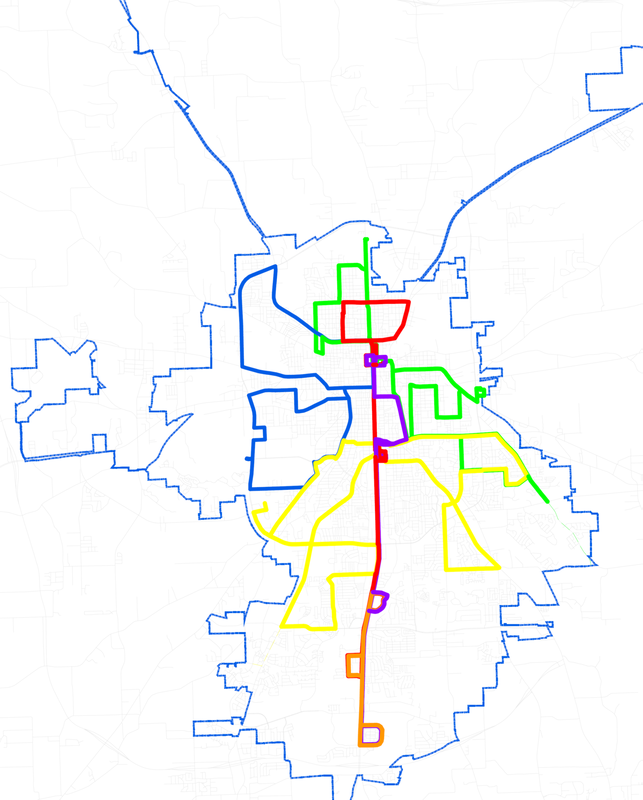
TYLER PUBLIC TRANSPORTATION
FIVE BUS ROUTES
ANNUAL PASSENGER TRIPS (2018)
wHAT DOES IT MEAN?
- Most Tylerites depend on automobiles to get around.
- Almost 50% of households have 2 or more vehicles.
- The vast majority of workers in Smith County commute to jobs in the county.
- There are more cars driving on South Broadway than on Interstate 20 on a daily basis.
- Many vehicles pass through Tyler or enter the city for work and shopping opportunities.
- Most regional traffic uses U.S. 69 and Loop 323 to access destinations.
- Traffic signal efficiency has been enhanced with the addition of 56 Flashing Yellow Arrow left turn improvements.
- Vehicle progression along major arterials is maximized by four Adaptive Signal Control Systems.
- Tyler has 5 bicycle routes totaling 20.3 miles.
- Most East Texans use Tyler Pounds Regional Airport when flying out of an East Texas Airport.
